MuszęJechać
Application · Public transport on a map / browser, Android · 2026
All Polish public transport on one map: vehicles in motion, a journey planner with ticket prices and network statistics.
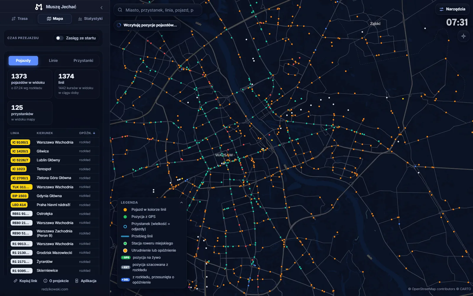
A map and journey planner for the whole of Poland – 107 cities and 148 operators from official GTFS feeds, live GPS vehicle positions, a connection search with transfers and ticket prices, and a full statistics module for the transport network.
The server downloads GTFS feeds from every operator, turns each trip into a path in time and keeps the results ready – so a layer loads instantly and the map animates over 200,000 trips a day. Sources pick themselves: rail and nationwide operators always, cities as they come into view, with hysteresis so panning the map does not reload the data.
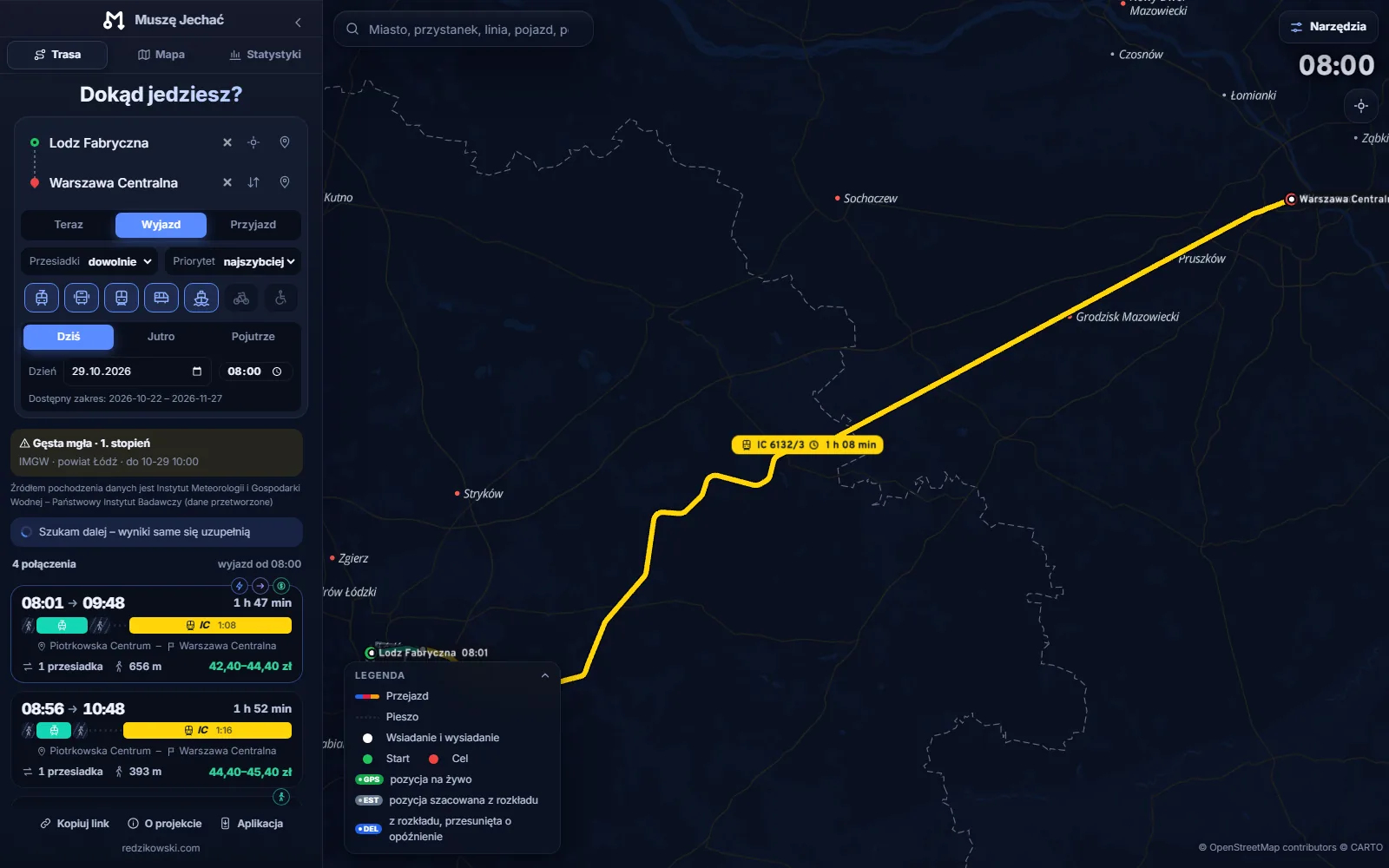
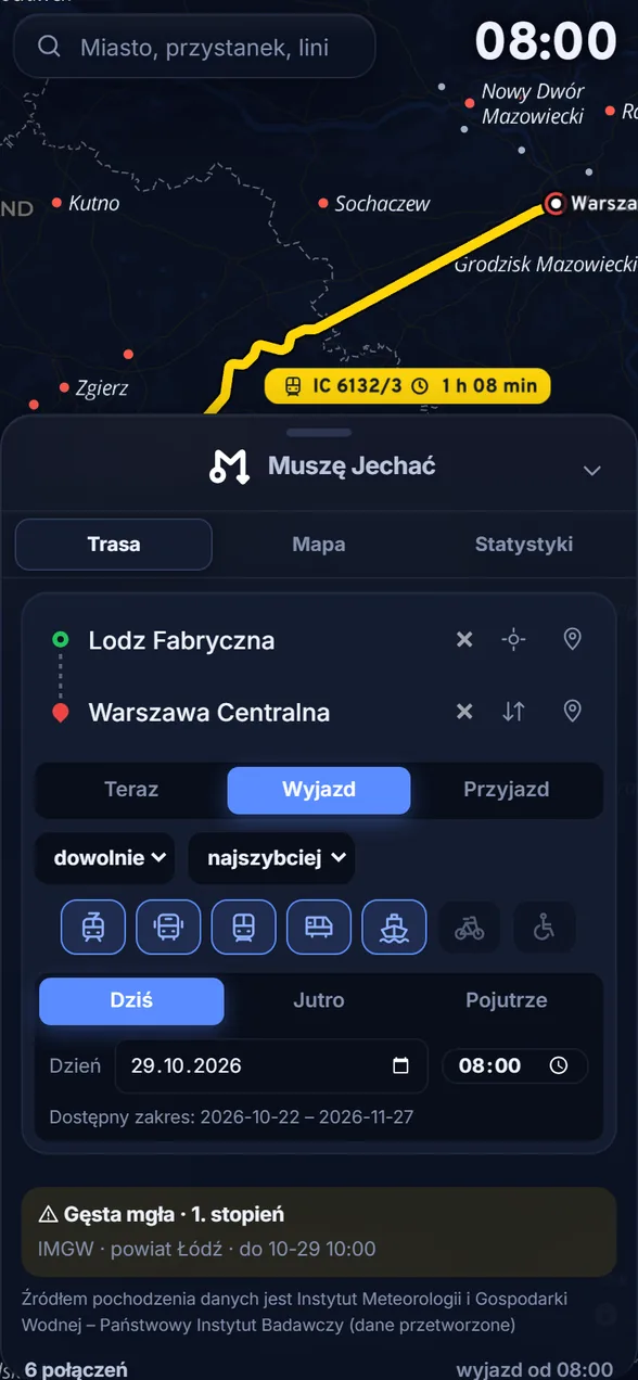
The planner runs a CSA search over the same data as the animation, with transfers, walking legs and variants for fastest, fewest transfers and cheapest. Every train carries a price from the operators' official tariffs, and urban legs get a time ticket matched to the total journey. Live data – GPS positions, delays, cancellations, PKP PLK disruptions and IMGW weather warnings – comes straight from the sources, with no intermediary servers.
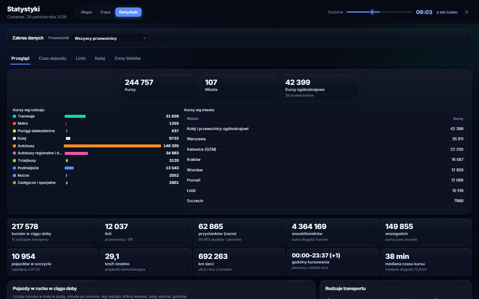
Statistics: network indicators, vehicle-kilometres, travel-time maps from any point, 30-minute reach for every hour of the day, departure heat maps and line rankings. The Android app is the same interface in a native shell, laid out for a phone.
Features
- 107 cities and 148 operators from official GTFS feeds
- live GPS vehicle positions and delays
- journey planner with transfers and ticket prices
- network statistics, travel-time and reach maps
- the same interface in the browser and in the Android app
Technology
- Python
- JavaScript
- MapLibre GL
- GTFS
- SQLite
- Kotlin
My role
Concept, design, implementation, data and deployment